Lake Bonneville
During the Ice Age, temperatures heated up and melted the ice. That water formed a huge lake that covered most of Utah.
Where was Lake Bonneville, how large was it, and when did it exist?
Lake Bonneville was a large lake that existed from about 32 to 14 thousand years ago.
It occupied the lowest, closed depression in the eastern Great Basin and at its largest extent covered about 20,000 square miles of western Utah.
Lake Bonneville was a large lake that existed from about 32 to 14 thousand years ago.
It occupied the lowest, closed depression in the eastern Great Basin and at its largest extent covered about 20,000 square miles of western Utah.
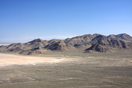
Lake Bonneville Shorelines
What were Lake Bonneville's dimensions, and what was it like?
Lake Bonneville was about 325 miles long, 135 miles wide, and had a depth of over 1,000 feet.
It contained many islands that are the mountain ranges of western Utah today.
It's fresh water came from precipitation, rivers, streams, and water from melting glaciers.
During the time of Lake Bonneville, the climate was wetter and colder than now.
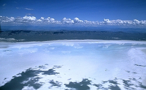
Remnants of Lake Bonneville: Sevier Lake
When and at what elevations are the shorelines along the mountains made by Lake Bonneville?
Three major shorelines were left by Lake Bonneville, and one by the Great Salt Lake.
The Provo and Bonneville shorelines of Lake Bonneville can be seen as benches along mountains in western Utah.
The Stansbury shoreline of Lake Bonneville and the Gilbert shoreline of the Great Salt Lake are less noticeable, and are found lower in the valleys.
Each shoreline represents a period of time during which the lake stood at that elevation.
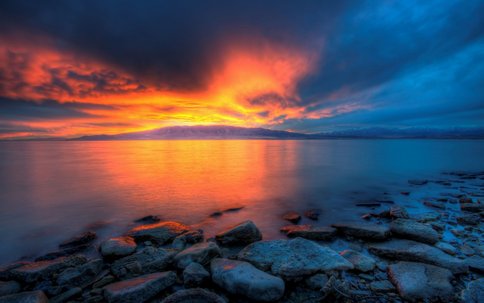
Remnants of Lake Bonneville: Great Salt Lake
How did Lake Bonneville benefit Utah?
Mountains streams flowing into the lake deposited the sediment, forming the best soil for farming in the state and large gravel deposits.
Interesting Facts!
The Great Salt Lake is Utah's largest body of Utah. It is found in a basin and is very shallow. Rivers flow into the lake, with minerals, but no rivers flow out, making it very salty. It's the second saltiest lake in the world! But it's too salty for fish. It has more salt than either of the oceans and has enough salt to supply the Earth for 1,000 years!
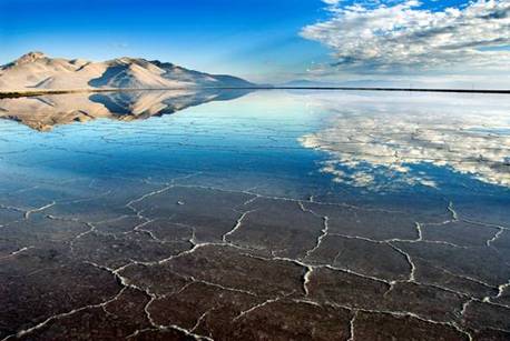
Remnants of Lake Bonneville: Utah Lake
